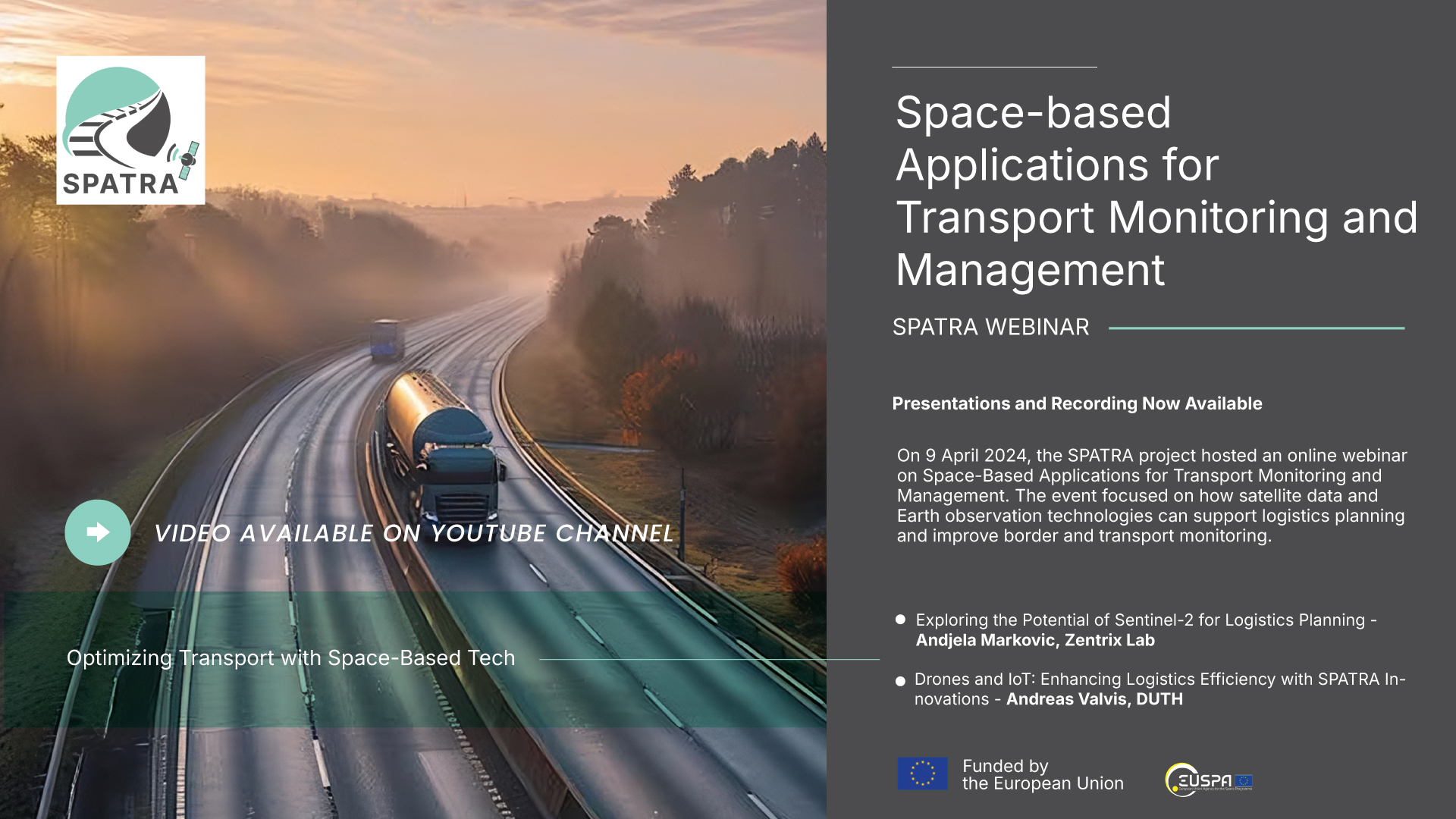
SPATRA IoT Road Webinar: Presentations and Recording Now Available

On 9 April 2024, the SPATRA project hosted an online webinar on Space-Based Applications for Transport Monitoring and Management. The event focused on how satellite data and Earth observation technologies can support logistics planning and improve border and transport monitoring.
The webinar included presentations from:
- Exploring the Potential of Sentinel-2 for Logistics Planning – Andjela Markovic, Zentrix Lab
Andjela Markovic presented the use of Sentinel-2 satellite data to improve logistics planning and monitor truck movements at border crossings in Serbia. Her work shows how remote sensing can help estimate queue lengths and traffic density, supporting more efficient border and transport operations.
- Drones and IoT: Enhancing Logistics Efficiency with SPATRA Innovations – Andreas Valvis, Democritus University of Thrace – (D.U.Th.)
Andreas Valvis explained how drones and IoT can work together to improve logistics and traffic monitoring. By combining satellite, ground, and drone data, his approach supports real-time traffic analysis, parking availability, and predictive management to reduce congestion and optimize routes across Europe.
Both presentations, along with the full webinar recording, are now available:
-
Download the presentations on SPATRA Zenodo Repository
-
Watch the webinar recording on SPATRA YouTube Channel
These materials provide practical insights into integrating space-based data into transport systems and are openly available for anyone interested in the topic.