Use Case 1 - Road

Road – Traffic Flow Optimization at Border Crossings
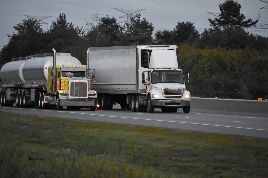
SPATRA’s first use case focuses on mitigating road transport challenges, specifically targeting congestion at border crossings and optimizing the usage of parking facilities. By harnessing the capabilities of EGNSS and Copernicus satellite systems, the initiative aims to enhance traffic management and logistic efficiencies, aligning with the objectives of the European Green Deal.
Strategies:
Real-time Traffic Management: Integration of satellite data with drone and sensor feedback to monitor and adjust traffic flows dynamically, particularly at critical border points.
Parking Efficiency: Implementation of satellite-driven monitoring to evaluate parking space utilization, supporting more effective logistics planning and reducing vehicle idling times.
Outcomes:
Streamlined border crossing processes, leading to reduced congestion and improved transport flow.
Increased environmental sustainability through minimized traffic bottlenecks and lowered emissions.
Enhanced operational efficiency for logistics and transportation networks.
Implications:
Addressing congestion and optimizing parking with satellite technology promises to elevate road transport system efficiency, offering a solution that supports sustainable and fluid cross-border transportation critical to the European economy and ecological goals.
